The adventures with Mathematica continue, and I have been working on developing machine learning applications for remote sensing.
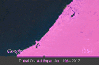
Below is an example where 14 Google images have been analysed to extract the layer representing land then coloured to stand out, from that we made a gif to show change over time.
I'm quite chuffed, and love the way it shows the rapid development of the coast line, not just the building of islands but also the digging of canals.
The next step will to be to create a higher resolution mask (this one is 5x5 pixels) but for the time being we're off to an excellent start demonstrating proof of concept!
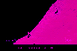
And another, using a slightly different image visualisation tool
 RSS Feed
